This potential has not gone unnoticed at policy level. The current reform of the European Union’s Common Agriculture Policy (CAP) has resulted in new requirements that directly affect the way European farmers will claim their aid applications. Additionally, the upcoming post-2020 CAP is further accelerating the use of space and new technologies to achieve more efficient control mechanisms over subsidies distribution and other aspects of CAP.
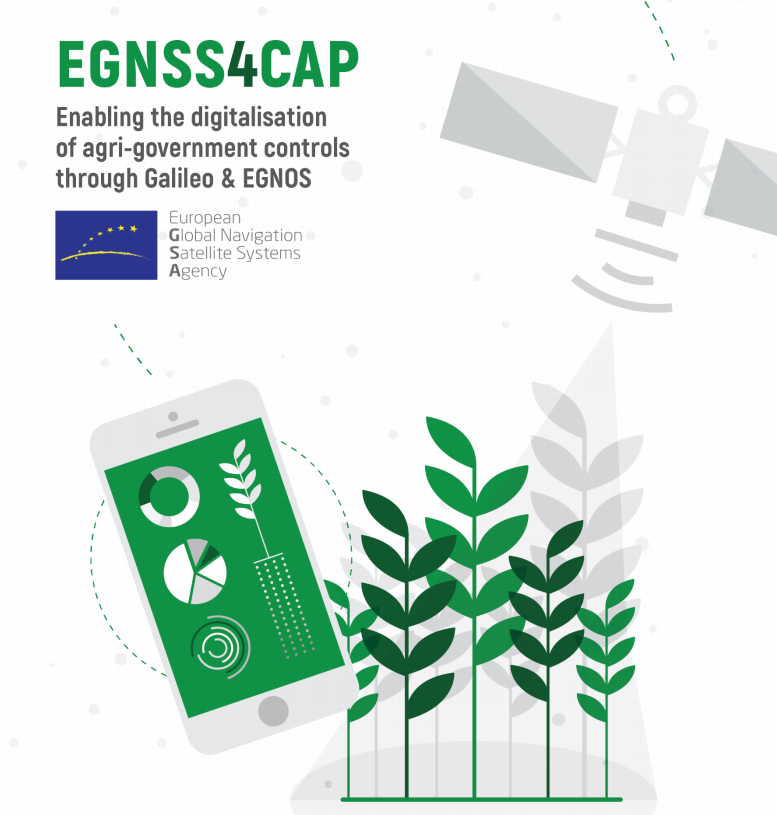
Coordinated by Novaspace, EGNSS4CAP a project for the European GNSS Agency (GSA), implements Galileo’s unique features such as dual-frequency capabilities and authenticated location into an application that will make it easier for farmers and Paying Agencies to monitor activities and apply for subsidies. It does this by providing geo-tagged photos to support and complement a Copernicus Sentinel based monitoring approach. The project kicked off in May 2019, and the project results were presented at the MARS Conference on 26-28 November 2019 in Prague, Czech Republic.